The research team on The Ocean Bottom Seismometer survey project in the Barents Sea (July 20 - August 12, 2014) wrote a diary, posted photos and documentation during the expedition. The expedition was on the research vessel MS Haakon Mosby (UiB).
The documentation is online found at the web resource Hunting Paleozoic Suture in Barents Sea for all interested in the geology in the Artic. On the web resource there are a day to day diary, photos from the life onboard and from the region, and information about the geological history in the area, documents and data samples.
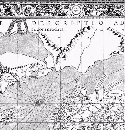
The geological structure in the Barents Sea
The main object of the survey was to explore the geological structure in the Barents Sea and find traces of the northward continuation of the Paleozoic zone of continental collision known as the Scandinavian Caledonides or, more broadly, the rocks of the Norwegian mountains.
To do this the Research team used seismic measurements to collect a lot of data from the bottom of the Barents sea. More than 80 deployments of ocean bottom seismometers were performed to register seismic wave field traveling through the crust and upper mantle. The acoustic energy was emitted by a powerful pneumatic source (air-guns) towed behind the vessel.
The travel time and amplitude of recorded seismic waves can be used to extract information on spatial variation of physical properties (such as P- and S-wave velocities). Data which are now objects for studies for the researchers in the time to come.
Of special interest for the researchers is Storfjorden which is an area of intense intraplate earthquake activity south of Svalbard where new seismic data were acquired to understand better the nature of the ongoing deformation in the crust. The major hypothesis to test here is that the earthquake activity is in part resulted from reactivation of long-lived lithospheric faults related to the continental collision 400 million years ago.
The research team
In addition to the two researchers from CEED, University of Oslo participated also researchers from Department of Earth Science, University of Bergen, Institute of Marine Research, Bergen, Norway and IFM GEOMAR, Kiel, Germany.
The survey was financed by The Research Counsil of Norway; NFR PETROMAKS.