Geophysical evidence suggests that the lower crust at depths greater than 15-20 km is seismically active, accounting for as many as 20% of global earthquakes with a magnitude exceeding M5. This finding is difficult to reconcile with classic models of the deformation behavior of the continental crust, which predict a weak, aseismic lower crust capable of flowing viscously rather than breaking.
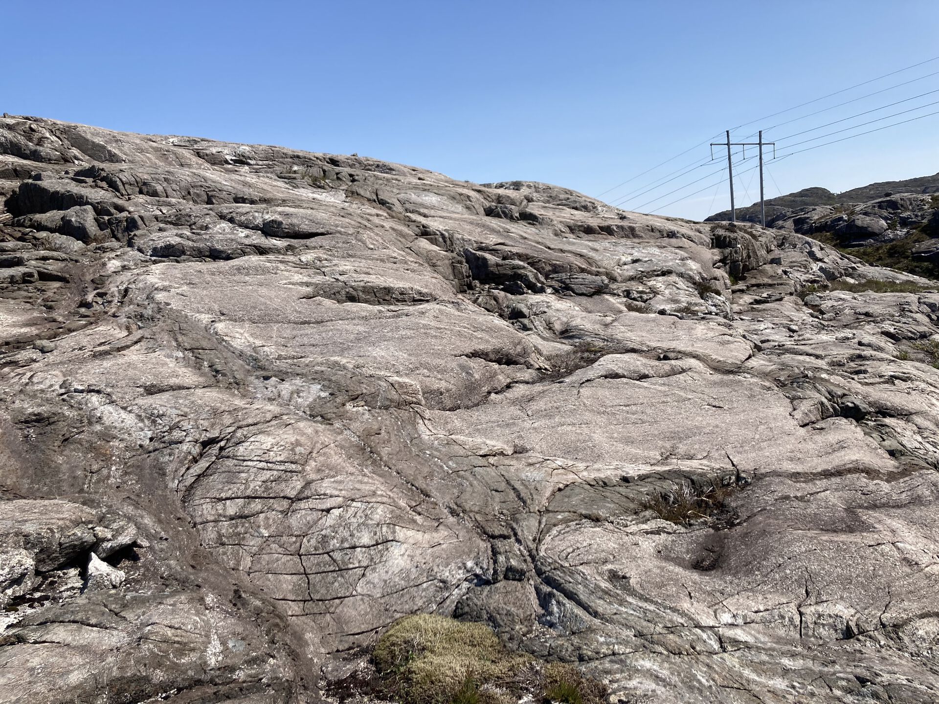
However, exhumed sections of lower-crustal rocks (granulites and amphibolites) commonly display large volumes of pseudotachylytes—quenched frictional melts produced during seismic slip along faults. These pseudotachylytes are essentially fossil earthquakes that provide direct insight into deep earthquake sources. One of the best-exposed lower-crustal sections is found in Holsnøy (Bergen Arcs, western Norway), presenting an excellent opportunity to investigate the mechanisms behind earthquake generation in the deep crust.
The goal of this project is to map the occurrence of fossil earthquakes in Holsnøy to determine the tectonic setting of their formation (e.g., subduction-related earthquakes) and the processes that caused seismic slip. The project will employ a combination of field studies (including structural logging and drone surveys), sampling, and analytical techniques (such as scanning electron microscopy—SEM, and electron microprobe analysis—EMPA). Additionally, the project aims to determine the age of lower-crustal earthquakes through geochronology.