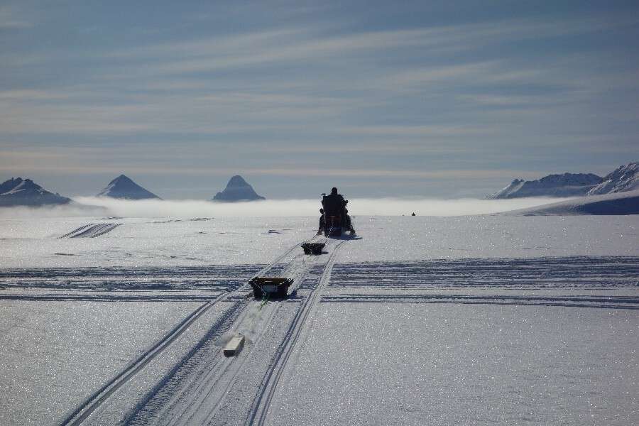
Good knowledge of glacier geometry is essential for projecting glacier evolution for future climate scenarios and assessing related impacts, e.g. on meltwater runoff. Furthermore, evaluating dense radar measurements allows characterizing properties of the glacier base that are relevant for glacier sliding. Sliding has important controls on glacier flow variability, e.g. surging but still is not fully understood.
Based on an existing dataset of a dense ice penetrating radar survey over a 300*300m grid, radargrams are to be processed to derive reflectivity and specularity to characterize basal properties in terms of roughness and wetness. Pending on availability of funding, further field surveys can be conducted to complement the dataset and extend ice thickness mapping to other glaciers where interest is in meltwater runoff.