Background
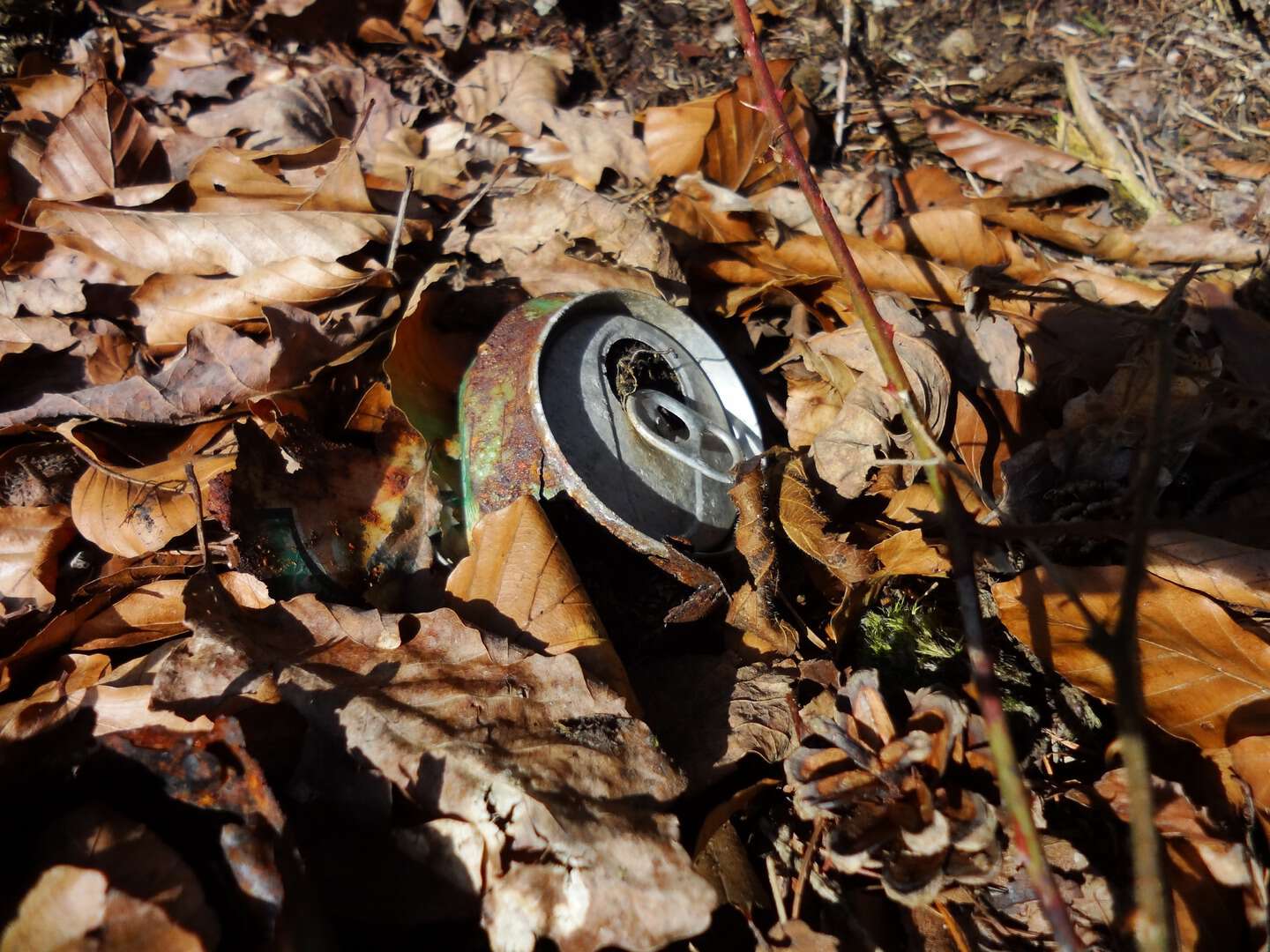
Plastics infiltrate terrestrial, aquatic, and even atmospheric ecosystems, persisting for decades and causing long-term ecological and socio-economic impacts. From a material flow point of view, these are material losses: plastic waste escaping formal collection and recycling systems and ending up in nature. While these losses are small in total material flows, their environmental footprint is disproportionately large because they accumulate in ecosystems.
Material Flow Analysis (MFA) typically do not consider the spatial dimension of material flows, but rather provide a quantification of the flows — including the "loss" term. Colloquially it is said that everything eventually ends up in the sea, and consequently, plastic waste quantification and mitigation measures primarily address water areas and shorelines. However, some part of plastic waste accumulates in soils or in the atmosphere. It can be assumed that the spatial distribution of waste is originally closely tied to human settlements, infrastructure, and mobility patterns. From there, plastics follow physical redistribution processes.
The PLASTIC TRAILS pre-project is a UiO Sandpit interdisciplinary initiative between NILU and UiO. It explores whether MFA and geosciences can be integrated to map and understand plastic leakage across Norway. We are currently considering whether this can evolve into a full-scale interdisciplinary research project considering MFA, spatial modelling, environmental geosciences and citizen science. In the meantime, one (or several) MSc theses could explore parts of the problem and thereby contribute directly to the scientific foundation of this initiative.
Project Description
This MSc thesis will be jointly supervised by researchers from the Department of Geosciences (UiO) and NILU. The thesis can be oriented toward complementary directions, for example:
- spatial distribution and mapping
- environmental impacts and material characterization
- geographical aspects of material flows
- redistribution modelling (wind, water currents)
depending on the student's background and interests. It creates an opportunity to combine human activity data with material flow data, material characterisation and measurements, and/or environmental transport dynamics to assess where material losses accumulate and what impact they have. Methods can include GIS, physical modelling (redistribution), remote sensing, environmental chemistry, and data science.
The thesis will have a high degree of freedom. The exact research questions, study area, and methods will be developed together with the student.
Collaboration
The thesis will be co-supervised by:
- Department of Geosciences, UiO: spatial modelling & GIS (Désirée Treichler) and environmental geosciences (Anja Sundal), other supervisors can be considered depending on the angle the student wishes to take
- NILU (Miguel Las Heras Hernández): MFA
Example A: Spatial distribution of plastic waste
Aim: To map and analyse the spatial distribution of plastic waste in selected Norwegian environments, using geospatial data and statistical modelling. Areas of interest could be, e.g., parts of Oslo municipality, agricultural areas, mountain trail areas with high/low frequency, etc. Where does plastic waste accumulate on land, and what drives its spatial patterns?
Possible approaches:
- Hotspot mapping: Combine data on population, socioeconomics, infrastructure, movement patterns, terrain, climate etc. in a GIS-based multi-criteria analysis to identify high-probability accumulation zones for plastic waste in a chosen region.
- Data collection approaches: Collect litter samples from the ground or in the soil. Drone-based (or handheld) imagery collection and analysis can be considered.
- Transport modelling: Build a simple spatial model of how litter moves from source to deposition areas, using e.g. gravity or water/wind transport, and observed or simulated release points.
- Validation with field data: Ground-truthing of spatial predictions through field data collected by the student, from existing datasets or citizen science (to be developed).
Example B: Environmental Aspects and Material Characterization
Aim: To investigate the environmental footprint and impact of plastic materials in Norwegian soils and environments. What plastic types and quantities do we find in Norwegian soils, and how do they vary across settings?
Possible approaches:
- Material identification and fingerprinting: Identify polymer types, additives, and degradation products in plastic samples from soils. Compare profiles across hotspots/environments to relate them to sources and pathways.
- Ecotoxicological relevance: Link spatial hotspots (example A) with ecological sensitivity mapping and areas with protection status to identify areas where plastic pollution causes environmental harm or threatens the ecological integrity of protected/vulnerable areas.
- Microplastics in terrestrial systems: Quantify microplastic concentrations, size distributions, and polymer compositions in soil, sediment, or freshwater samples from a chosen study area, and correlate findings with local land use.