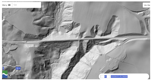
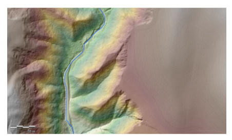
Clay-rich marine sediments make up some of Norway's best agricultural areas. Ravines are levelled to facilitate farming, and we can, therefore, observe rapid landscape changes.
Case study in Spikkestad, Asker:
- Collect terrain data for detailed DEMs (drone)
- High temporal resolution to investigate slope response to heavy rain, snow melt, etc.
- Salinity changes of the groundwater (quick clay?)
- Reconstruct the landscape before Anthropocene changes