
Background and motivation: Estimating renewable energy production is critical for power grid stability and energy usage efficiency. AI algorithms are available for such estimations from openly released data. However, training AI models with a large number of parameters from scratch is resource- and time-consuming. Though openly released AI models and tools are available for a variety of general purposes, the validity of openly released models and relevant data can be with significant uncertainties when it comes to solve energy issues.
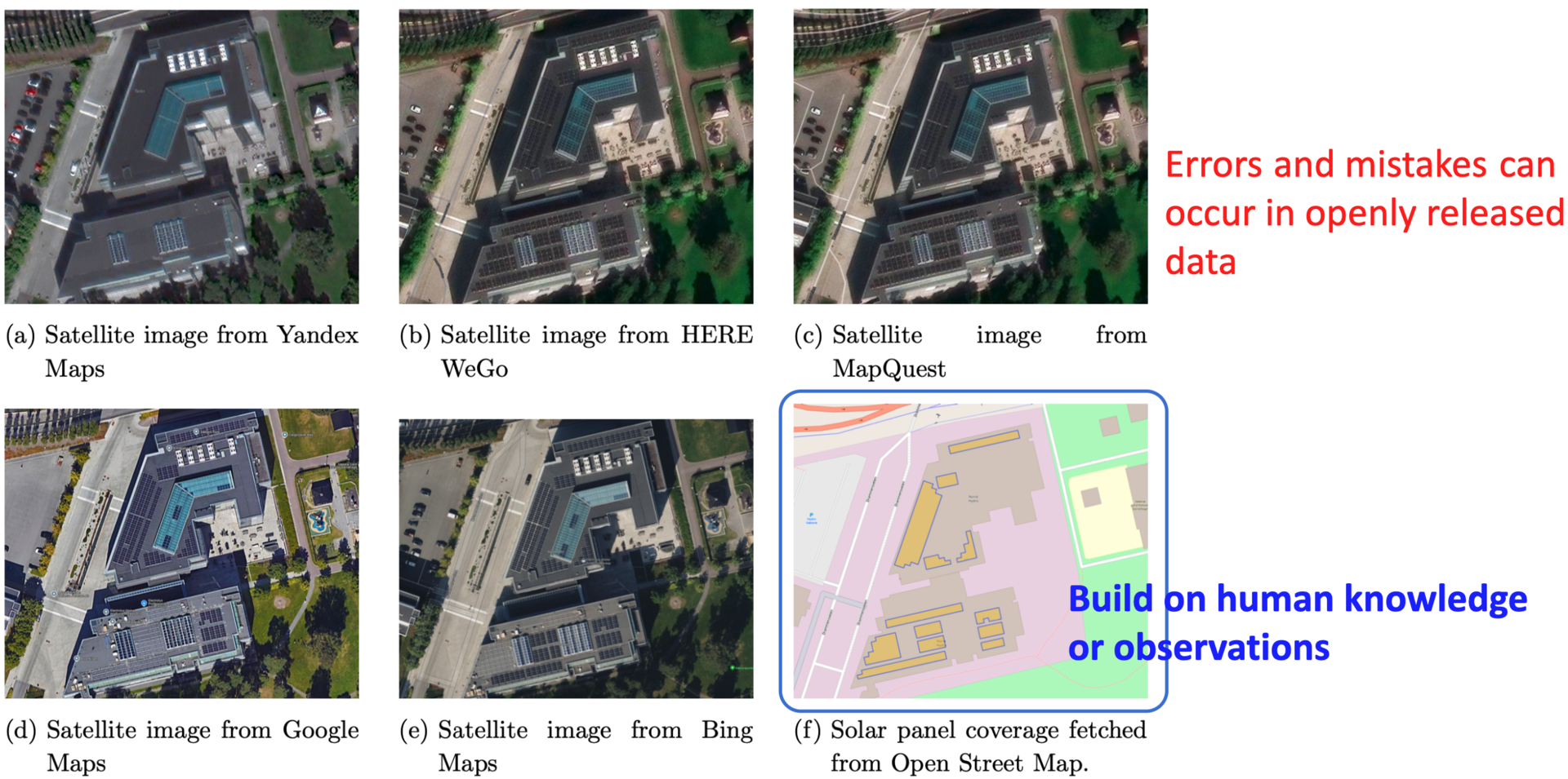
Figure: Images for the same building with solar panels from different map services
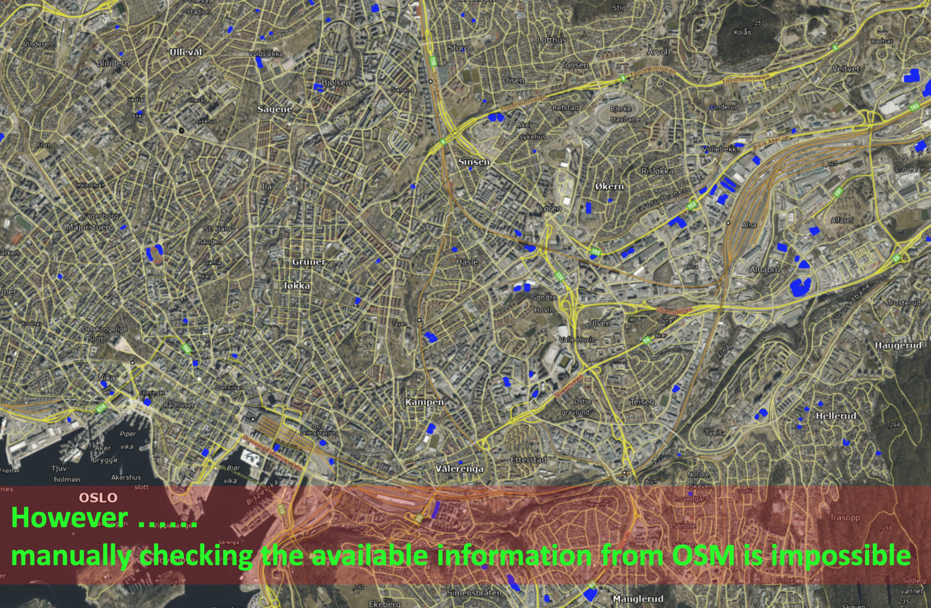
Figure: Distribution of solar panels (in blue) in the city of Oslo
What to do: In this thesis, you will work on the estimation of solar power production from satellite images. You will review and analyse openly released AI models and tools available for solar panel detection, and access and analyze our accumulated satellite images of buildings with roof-top solar panels. You will use publicly accessible AI models for solar panel detection, and also train AI models from the scratch for comparison.
Expected outcomes: From this thesis, it is expected the results including (i) a checklist displaying whether information is valid across information sources, e.g., whether the areas marked with solar panels in Open Street Map match the information in GoogleMaps and BeingMaps (ii) numerical results regarding whether openly released AI models can detect solar panels correctly (iii) numerical results regarding whether a model trained from the scratch can detect solar panels correctly and how it compares with openly released AI models
Skills needed: Programming language in Python or MATLAB/Simulink, or other languages that you are experienced with. Knowledge with image processing will be good but not required.