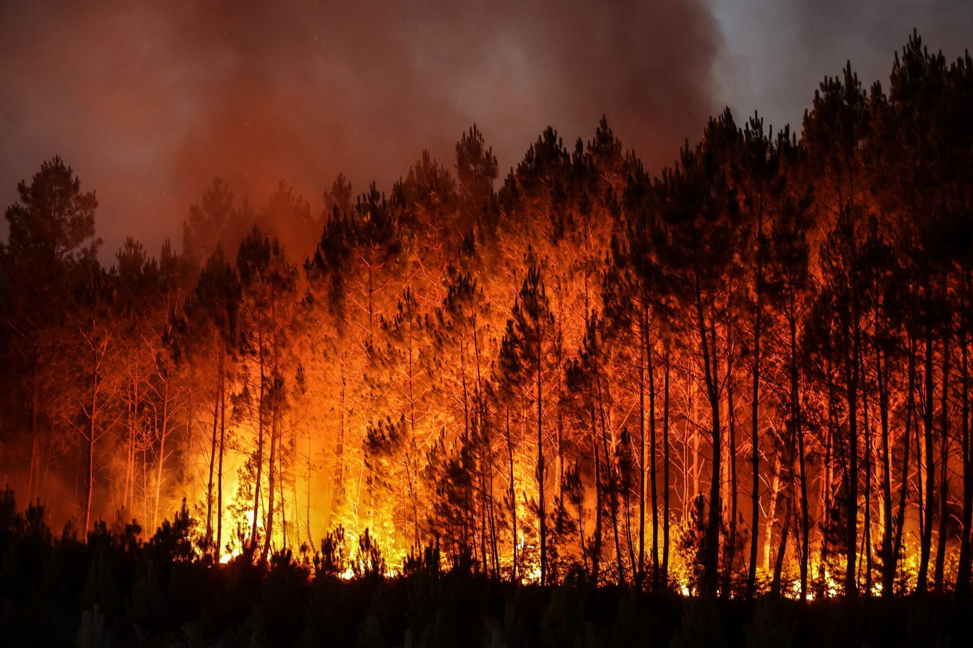
Though good results have been generated by various prediction models, factors related to human behavior are not yet included in those models when predicting wildfires.
- How close is the forest from residential/commercial sites?
- Any fire detectors within an area of high fire risk?
- Any major tourism spots within the area?
- How many water towers / pump around?
Such information is available from the OpenStreetMap (OSM) database.
To quantitively estimate the value of amending predicting models with human related factors, this master thesis will research and address those questions properly, and improve models with more comprehensive attributes/parameters from the OSM database.