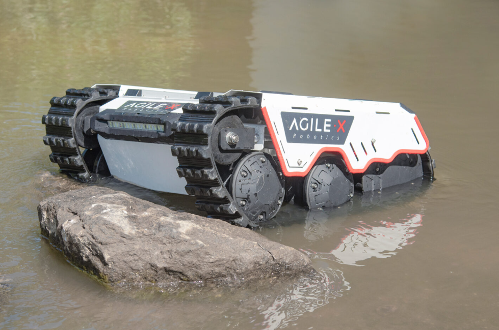
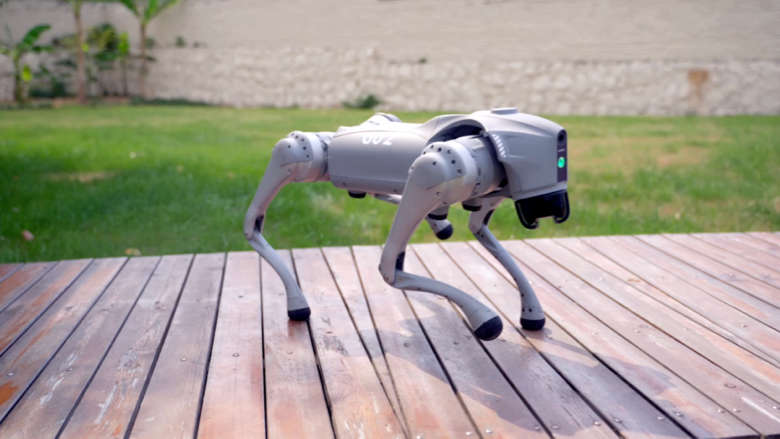
Norwegian forests are a challenging terrain for smaller mobile robots to operate in. GPS reception can be spotty under the tree canopies, obstacles can be hard to classify or characterize, and the robot can quickly become stuck on slippery or soft ground.
There are many parts of robot navigation in forest environments suitable for a master topic:
- GPS-Free Localization Using Trees: Imagine a robot equipped with sensors that can detect the position of trees around it. By matching these observations with satellite or aerial images of the forest, the robot could figure out where it is on the map and navigate without the need for GPS. This method can be tested with different types of sensors and localization algorithms.
- Terrain characterization using experience: A wide range of traditional techniques has been employed to classify and characterize terrains for use with mobile robots, but most are based on the terrains properties directly, and not on how they affect the robot. By first collecting data as the robot moves through the forest and applying machine learning, you can create a model that predicts how different terrain influence the robot. Ultimately, you can test if it allows the robot to autonomously find its way through the forest using information about the terrain it encounters. This topic is also well suited for someone interested in studying lifelong machine learning where the robot could be made to continuously improve it's model while operating.
- Seasonal Terrain Adaptation: Investigate how different seasons affect terrain characteristics and robot navigation. Develop adaptive algorithms that enable robots to adjust their strategies when dealing with snow-covered, muddy, or dry terrains throughout the year.
- Multi-Robot Collaboration for Mapping Forest Areas: Explore the use of multiple robots working together to map forest areas quickly and efficiently. Implement collaborative algorithms to ensure seamless interaction and data sharing between robots. This can also be connected to search and rescue or defence applications, and is well suited for both a theoretical and practical project.
 |  |