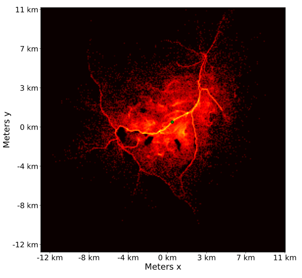
When someone goes missing in the forest or mountains, search planners have to decide quickly where to look. In a previous master's project at our department, we built a simulation where thousands of virtual lost persons move through real Norwegian terrain, giving a map of where the person is most likely to be found.
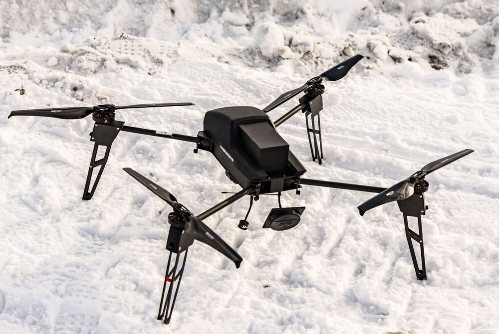
In this project, you can use these maps to guide flying drones or ground robots in the search. A drone could be in the air minutes after someone is reported missing, covering the most likely areas before the first rescue teams arrive. You could work on planning search patterns for one or several drones, updating the map as areas are searched, or getting a ground robot to search through forest and rough terrain where drones can't see. You can also work on improving the simulation itself. Collaboration with Norwegian search and rescue authorities is a possibility and may allow for testing against real-world cases and scenarios. The project can be done in simulation or with our drones and robots in the field, depending on your interests.
Previous thesis: Heuristically tuned agent-based model for lost person location estimation to support search and rescue planning (2026)
 |  |