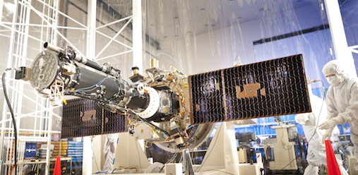
The Interface Region Imaging Spectrograph (IRIS) collaborative project was sent into space overnight to June 28, 2013. The primary scientific goal of the observations is to understand how the solar atmosphere derives its energy. The studies combine advanced numerical modeling with high-resolution ultraviolet images and spectra.
RoCS and IRIS
Solar physicists at RoCS contributes with development of the software to convert IRIS data into a readable format and quick display of data. Data from IRIS are downloaded to the SvalSat download station in Svalbard. There, the Kongsberg Satellite Services' antennas, build by the Norwegian Space Center, reads the data which are then stored in an electronic archive created by the software engineers of the Institute of Theoretical Astrophysics, UiO.
RoCS is also responsible for the modeling part of the project. Numerical simulations of the outer part of the solar atmosphere are built using supercomputers in Norway, the United States and Germany. These models make it possible to interpret the observations from IRIS.