Webpages tagged with «remote sensing»

Published July 1, 2026 2:35 PM
Published July 1, 2026 2:34 PM
Published Apr. 27, 2026 2:11 PM
Published Mar. 18, 2026 11:33 AM
Published Sep. 16, 2025 3:52 PM
Published Feb. 19, 2025 10:17 AM
Published Oct. 14, 2024 4:20 PM
Published Jan. 30, 2024 9:45 AM
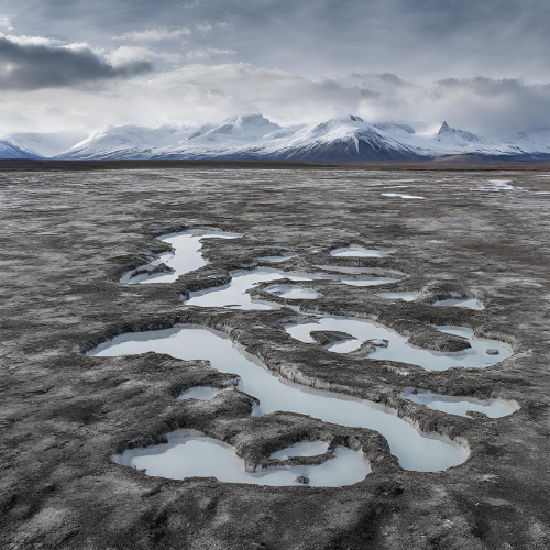
Image may contain: Cloud, Sky, Water resources, Mountain, Ecoregion.
Published Nov. 13, 2023 9:54 AM

Our next LATICE seminar will be about Bayesian inverse modeling and data assimilation for the terrestrial cryosphere with presentations from Brian Groenke and Marco Mazzolini on November 29th, 2023 at 14:00.

Published Oct. 7, 2022 10:02 AM
Published Feb. 24, 2022 2:52 PM
Published Nov. 22, 2021 10:00 AM
Published Nov. 2, 2021 3:13 PM
Published Sep. 28, 2021 3:13 PM
Published Jan. 2, 2020 1:35 PM
Published Sep. 4, 2019 1:10 PM
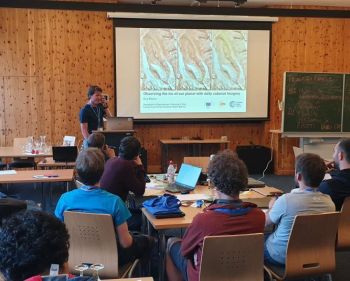
Bas Altena at the Innsbruck Summer School of Alpine Research 2019. This one-week long summer school in June was held for the third time. Venue was Obergurgl (Austria). Photo: Katharina Anders, University of Heidelberg, Germany
Published Aug. 28, 2019 11:18 AM

This summer Bas Altena gave a keynote talk during the Innsbruck Summer School of Alpine Research 2019, Austria, on how to use the small CubeSat satellites to observe glaciers and processes on Earth.

Published Nov. 17, 2015 3:09 PM

Permafrost is found in about a quarter of the land area in the northern hemisphere. Unlike snow and ice cannot permafrost be "observed" with remote sensing techniques. However satellites collect data regarding permafrost from sensors in field, and permafrost can be modelled numerically using above-ground data sets of temperature and snow depth. We aim in SatPerm to see if such data sets can be used for modelling of permafrost.

Published Oct. 15, 2015 3:37 PM
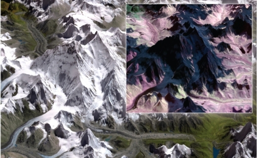
Image of Mount Everest and the Khumbu icefall (left) in a green-red-near infrared ASTER satellite image. Snow and ice appear white, as also humans see it. Inset to the right: Part of the mountain and ice fall as seen with a satellite image that captures infrared light that show snow and ice in dark colours. Figure: A. Kääb.
Published Oct. 29, 2014 10:00 AM

A large international study - Global Land Ice Measurements from Space (GLIMS) shows that Earth’s glaciers are shrinking with only a few exceptions. The scientists behind the study have applied satellite images to study the glaciers over the recent decades. The comprehensive report is now published as a book and an e-book.

Published June 11, 2014 12:32 PM