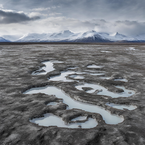
We continue our seminars with Brian Groenke (Doctoral research fellow, AWI) and Marco Mazzolini (Doctoral research fellow, UiO). Brian is currently on a research visit at GEO hosted by Kristoffer Aalstad and Sebastian Westermann. Marco is working in the SNOWDEPTH project led by Désirée Treichler.
Brian and Marco will share their research on applying Bayesian inference (inverse modeling and data assimilation) to permafrost and snow science with the LATICE community on the 29th of November 2023 at 14:00. Brian will talk about his new implementations in the CryoGrid model where he is following Bayesian inverse modeling approach. Marco is working on spatial propagation of ICESat-2 snow observations by using the MuSA modeling framework.
A Bayesian workflow for constraining multi-physics simulations of permafrost processes
Brian Groenke1,4, Moritz Langer1,5, Guillermo Gallego3,4, Julia Boike1,2
1Permafrost Research Section, Alfred Wegener Institute Helmholtz Centre for Polar and Marine Research, Telegrafenberg A45, 14473 Potsdam, Germany
2Geography Department, Humboldt-Universität zu Berlin, Unter den Linden 6, 10099 Berlin, Germany
3Technische Universität Berlin and Einstein Center Digital Future, Marchstrasse 23, 10587 Berlin, Germany
4HEIBRiDS, Einstein Center Digital Future Room 307, Wilhelmstr. 67, 10117 Berlin, Germany
5Department of Earth Sciences, Vrije Universiteit Amsterdam, Amsterdam, the Netherlands
The Arctic is one of the regions most vulnerable to anthropogenic warming. Recent studies have shown that the terrestrial Arctic is warming 2-3 times faster than the global average, driving rapid changes in the energy balance between the atmosphere and the subsurface. Permafrost, i.e. ground that remains perennially below 0℃, is a key feature of many Arctic environments that is crucial for gaining insight into how they are responding to these changes. One of the biggest challenges with monitoring the evolution of permafrost, however, is the sparsity of long-term observational data in the Arctic, especially measurements of deep ground temperatures, soil characteristics, and hydrological changes. Numerical models of key physical processes such as heat and water transfer therefore play an important role in bridging the gap between local, regional, and global scale processes driving change in permafrost environments. There are, however, numerous sources of uncertainty that arise in constructing such physical models; everything from unknown physical parameters to practical assumptions that result in systematic biases in the modeled dynamics. The central objective of this project is to identify and quantify the major sources of uncertainty in multi-scale modeling of permafrost processes using modern computational methods. Bayesian inference provides a powerful framework for combining prior knowledge with available data through the so-called posterior distribution. However, full-fledged posterior inference typically requires a large number of simulations given each set of input parameters, which is computationally demanding for complex numerical models. We discuss how machine learning can assist the Bayesian scientific workflow by emulating the dynamical solution operator during the inference step, i.e. by learning a suitable mapping from model inputs to solution functions. This mapping can then be used to obtain approximate samples from the posterior and thereby enable rigorous, data-driven uncertainty quantification for dynamical models of geophysical systems such as permafrost.
Spatio-temporal snow data assimilation with laser altimetry
Marco Mazzolini1, Kristoffer Aalstad1, Désirée Treichler1, Esteban Alonso-González2
1Department of Geosciences, University of Oslo, Oslo, Norway
2Centre d'Etudes Spatiales de la Biosphère, Université de Toulouse, CNRS–CNES–IRD–INRA–UPS, Toulouse, France
Snowpack water resources are challenging to quantify, especially in remote regions. Remotely-sensed observations can be used to constrain physical based snow models in a Data Assimilation framework. Current state-of-the-art methods for backwards snow reconstruction employ satellite-based snow cover observations to inform models about accumulation and melting processes. We showcase the benefit of assimilating sparse snow depth measurements from satellite altimetry. When employed in a spatio-temporal information propagation scheme, these observations improve peak snow depth reconstruction with respect to the assimilation of only fractional snow cover data. The experiments are located at the Izas experimental catchment in the Spanish Pyrenees.
Our seminars are open to everyone interested, and especially students are welcome. Please feel free to share. If needed, we can set up a Zoom link for remote participants. Please send us an email.
