Research groups from A to Z
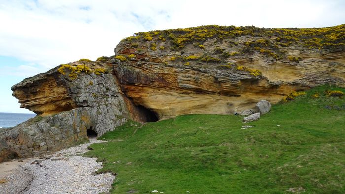
Earth’s history, structure, and change is archived in our rocks. Through the lens of geophysics, structural geology, stratigraphy, palaeontology, and sedimentology we can reveal how our planet has changed in the past and is undergoing change today.
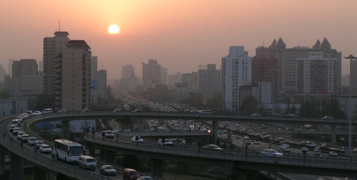
Climate and the effects of climate change present one of the greatest challenges of our time. It is a very broad research field which ignores the traditional boundaries between geoscience disciplines.
Storage of CO2 in safe geological formations in the subsurface can be an important strategy to reduce CO2 gasses in the atmosphere. The UiO's, Dept. of Geosciences has a long tradition of research on safe, long-term storage of CO2.
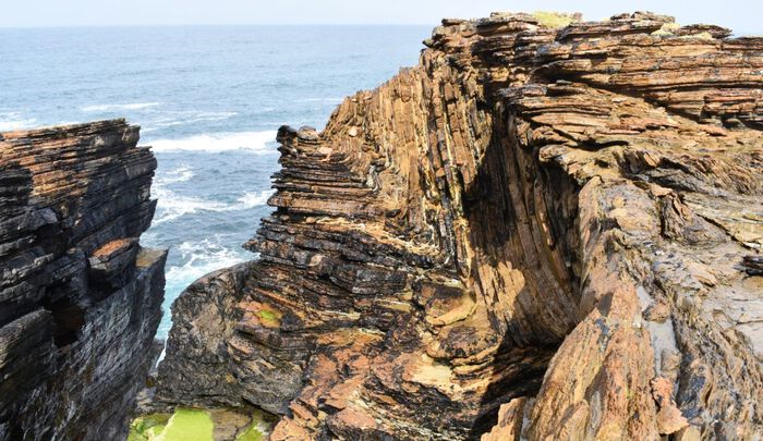
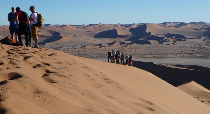
What characterizes the development of the Solid Earth, and how have processes in the mantle and crust contributed to shaping our planet as it is today?
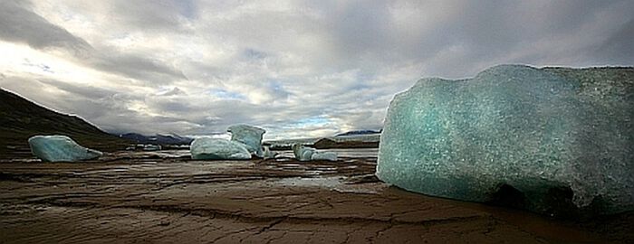
The Cryosphere includes all frozen water on the Earth's surface, all areas where snow, ice and permafrost affect the landscape and processes occurring there. A large amount of water is tied up in glaciers and ice caps in the Arctic and Antarctic, as well as in permafrost and smaller glaciers around the world.
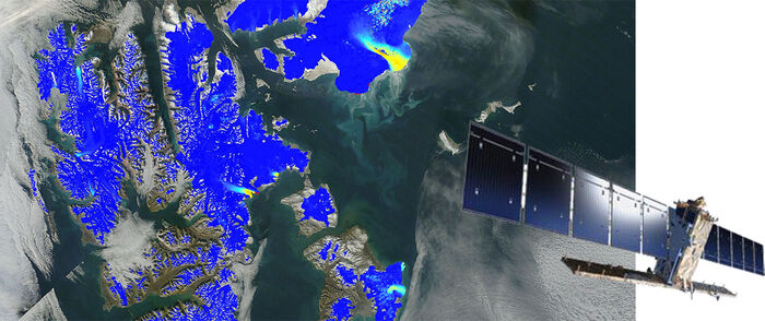
► Measuring a changing Earth
To better monitor and understand Earth system processes and their impacts on human and natural systems, remote sensing and the analysis of geographical information play an increasingly important role in today's world. Remote sensing and geoinformatics are influential and versatile technologies for many fields and applications in society. We develop methods and applications of remote sensing and geomatics at the interface between natural sciences, technology, informatics, and society-relevant applications.
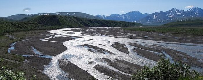
Geomorphology is the study of landforms and the processes that form them. Geomorphologists investigate why landscapes look the way they do, both in terms of understanding the evolution of landforms in the past and present, and to predict future changes (including geohazards). This is accomplished by a combination of field observations, field experiments and numerical modeling.
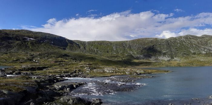
Hydrology is the study of the distribution and movement of water above, on and in the ground, including flow in streams and rivers. Knowledge in hydrology is of great importance for both the protection and exploitation of our freshwater resources.
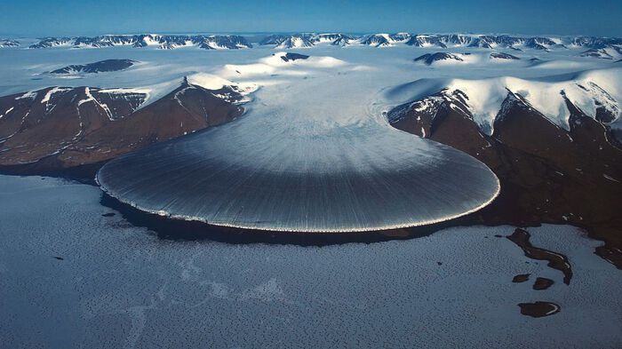
The dynamics of interface processes during flows on Earth, including the geosphere, the hydrosphere, the cryosphere, and the atmosphere, including the behavior of the complex interfaces separating ‘Fluid Earth’ from ‘Solid Earth’. The goal for the EarthFlows research group is to provide fundamentally new understanding of the dynamics of fluid-solid interfaces for a number of important geophysical systems.
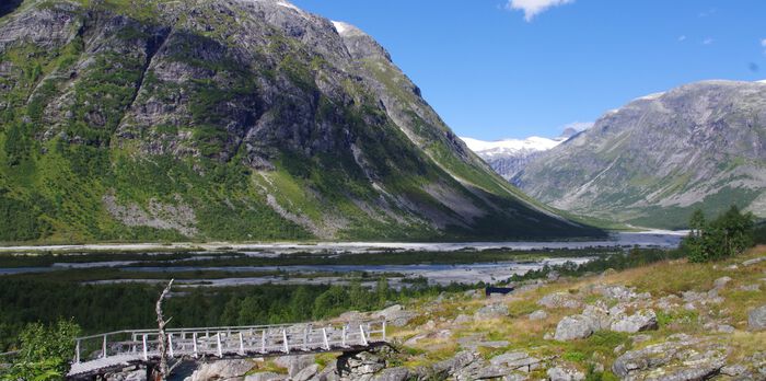
The role of Atmosphere - Biosphere - Cryosphere -
The research group LATICE brings a focus on cold-regions exchange processes within Earth System Sciences as an interdisciplinary initiative of collaborative research and education.
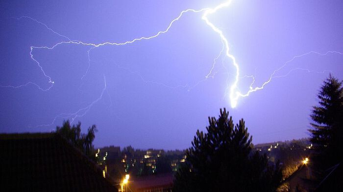
A common feature of much of the research activity in the Meteorology Group at the Department of Geosciences, University of Oslo is the quantitative computations of atmospheric and oceanic processes using theoretical and numerical models.
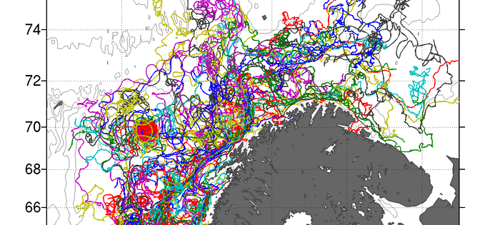
Physical oceanography encompasses observations and the dynamics of the ocean. The Oceanography Research Group at the Dept. of Geosciences focuses on the dynamics of large-scale flows such as the Gulf Stream and the Meridional Overturning Circulation, as well as circulation in high-latitude regions. We also study turbulent dispersion, which is relevant for the spreading of pollution such as plastics.