
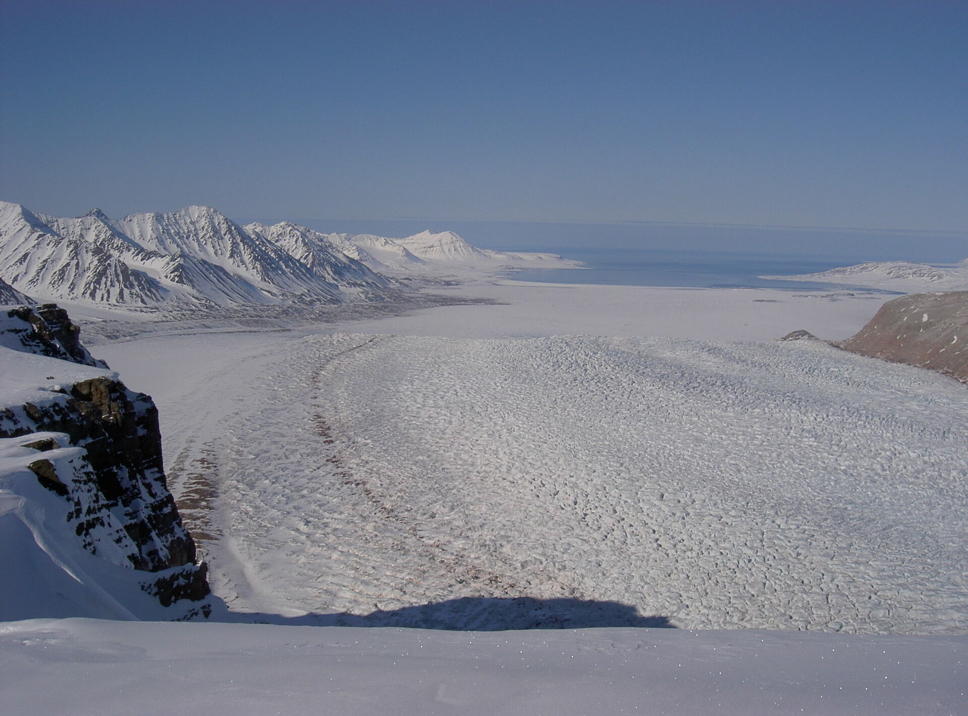
 .......The front of Kronebreen. (photo C. Nuth)
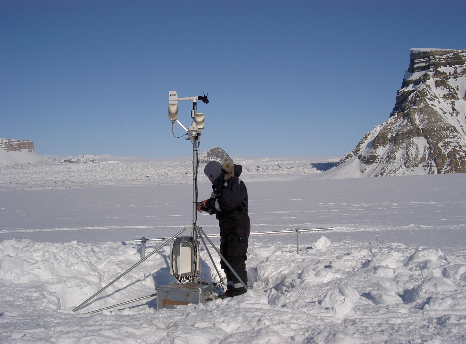
Meteorlogical station on lower Kongsvegen
(photo C. Nuth)
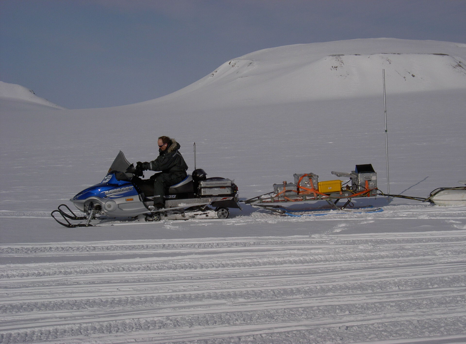
Radar profiling (photo C. Nuth)
WP1: Mass balance, geometry and bed topography - Kronebreen/Kongsvegen
 Satellite image (curtesy of Andy Kääb)
Existing data sets
Mass balance has been measured on Kongsvegen since 1986, and on the accumulation area of Kronebreen since 2003. There have been extensive radar studies on Kongsvegen, and AWSs have been collecting data on Kongsvegen since 2000. An older DEM for the area has been supplanted by a more modern one for Kongsvegen; an updated DEM for the remaining area is planned by NPI.
Field Investigations
NPI (Kohler), UiO, UNIS, UMB, (UI (Obleitner), IMAU)
1) Surface mass balance. Routine mass balance will continue on Kongsvegen (NPI), and the short record for Kronebreen’s drainage area will be extended under this project.
2) Energy balance. Four new AWSs and additional thermistors will be added to existing instruments on Kongsvegen. Three of the AWS are to be supplied by UI.
3) Superimposed ice accumulation will be quantified from shallow cores.
4) Temperature regime. Snow and ice temperature will be measured at the AWS sites.
5) Ice surface topography. Coverage will be extended and updated using ground-based GPS and satellite data.
6) Bed topography. Surface radar profiling will continue on the upper area, and airborne radar surveys will be conducted over the heavily-crevassed lower glacier.
${{include:file file=[../images/bottom.txt]}