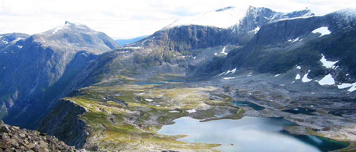
The Section for Geography and Hydrology (GeoHyd) does research and teaching in the fields physical geography, geomatics and hydrology. All research combine field observations with modern analysis and modelling tools. GeoHyd includes several research- and thematic research groups.
News & In media
-
Klimaendringar gjer fjellet farlegare Feb. 19, 2024
-
Nyutgivelse av fagbok om hydrologisk tørke Dec. 20, 2023
About us
Visiting address: The Geology Building, 4th. floor, Sem Sælands vei 1, Blindern, Oslo
Email: geo-hyd@geo.uio.no
Management
Kääb/Tallaksen
All staff members
Geomatics and Remote Sensing
Geomatics deals with digital processing of coordinate located geo-information, geographic information systems and remote sensing. We mainly use these techniques in studies related to water, glaciers, permafrost, land development and natural hazards. Geomatics is an integral part of all the other research areas.
Hydrology and Water Resources
Water occurrence, circulation and interaction with the environment is essential for all life on Earth. Hydrology is the study of water's properties, distribution, and circulation on land and in the atmosphere. Central to our group is to understand and model processes that control the movement of water in the form of precipitation -- as rain and snow, evaporation, flow in rivers and in the ground, and how they are affected by climate change and human interventions in the river.
Cryosphere
Another important research area is the cryosphere. This includes areas where snow, ice and permafrost processes dominate the landscape and the shaping of it. Here, understanding and modelling of processes in cold climates is important. Currently, this area of research is specifically focussed on the effects of climate change has on the cryosphere.
Geomorphology and Geohazards
Geomorphology is the study of how the Earth's surface has been and will be affected by climate and humans. We need knowledge about such processes, for example to assess natural hazards associated with steep terrain. Within the group we employ a number of tools including GPS equipment to monitor slopes, as well as techniques from remote sensing and digital terrain analysis to analyse the movements of the Earth's surface and the distribution special landforms in the landscape. Such analysis are also used to reconstruct climate and the extent of glaciers and permafrost in earlier geological times.