Published
Mar. 12, 2019 3:55 PM
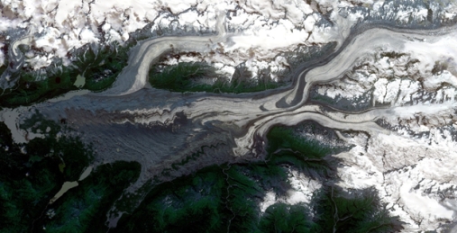
A new methodology to combine heaps of satellite images allows researchers from University of Oslo with colleagues to create a complete time series of glacier movement. To demonstrate the methodology, they created a map of ice flow every month, over several years, covering several mountain ranges in Southern Alaska and Canada. Once created, the dataset revealed several sudden glacier speed-ups and slow-downs.