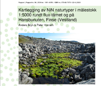
Area-wide ecosystem-type maps according to NiN generalize and reproduce the ecological structures in the landscape. Such maps can cover many purposes, but in this context two things in particular have been important:
- the maps can be included in the training of new surveyors
- they can be included in the research that takes place at Finse.
Two areas on Finse in Western Norway have been mapped according to Nature in Norway's guide for mapping at a scale of 1: 5000 (Bryn et al. 2018). One area is centered around the flux tower of the Meteorological Institute at the Alpine Research station (0.76 km2). The other area is located on Vesle Hansbunuten (1 km2), just south of Finsefetene.
For more information, please visit the news article NiN-kart fra Finse page and project's GitHuB page: NiN_Finse.
Reference and full report (in Norwegian):
Bryn, A., Horvath, P.. 2020. Kartlegging av NiN naturtyper i målestokk 1:5000 rundt flux-tårnet og på Hansbunuten, Finse (Vestland). Rapportnr. 96. ISSN nr. 1891–8050. ISBN nr. 978-82-7970-122-4
