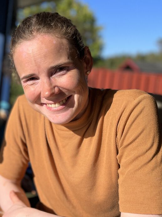
Disputas og prøveforelesning er i Auditorium 1 i Geologibygningen. I noen tilfeller vil prøveforelesning og disputas være mulig å delta på digitalt, i så fall blir det lagt ut en lenke til Zoom.
Prøveforelesning
Torsdag 27 november, 10:15-11:00, Aud 1, Geologibygningen:
Landscape evolution in Scandinavia since the Cretaceous and its relationship to geodynamic evolution
Kreeringssammendrag
Dypt nede i Nordsjøen finnes det rester av gamle landskap som kan fortelle oss om hvordan landskapet så ut i Norge lenge før dannelsen av dagens fjell og fjorder utviklet sine karakteristiske former. I sin avhandling har Marit Stokke Bauck brukt 3D seismisk data for å undersøke geomorfologi og strukturgeologi på toppen av grunnfjellet i Nordsjøen. Her viser kartlegging av grunnfjellet flere generasjoner med landskap som er bevart 12 kilometer under havnivå. I studien anvendes det spesielt seismiske attributter og restaurering for å forstå hvilke geologiske prosesser som har formet landskapet på paleoflaten i senpaleozoikum og mesozoikum.
Hovedfunn
Populærvitenskapelig artikkel om Stokke Baucks avhandling:
Top Basement Landscape Evolution through the Late Paleozoic and Mesozoic Periods, Norwegian North Sea
Onshore, the Norwegian bedrock, exposed at the surface, has been studied for decades through geologic mapping, leading to a solid understanding of its development. Limited well coverage, challenges in seismic imaging, and scarcity of dating constraints complicate the potential to reveal the offshore geologic evolution before the Permian in the Norwegian North Sea.
In her PhD research study, Marit Stokke Bauck has employed regional 3D seismic data to map the bedrock surface of the North Sea. The doctoral work combines different techniques to explore the basement landscape: geologic mapping, specialized geophysical techniques, geomorphology analysis, and 2D restoration to reveal details of bedrock erosion during the Late Paleozoic and Mesozoic eras.
An evolution of landscape development at the Top Basement surface is proposed in the study, which can be linked to known tectonic events from neighboring onshore regions such as Fennoscandia and East Greenland.


Foto og annen informasjon:
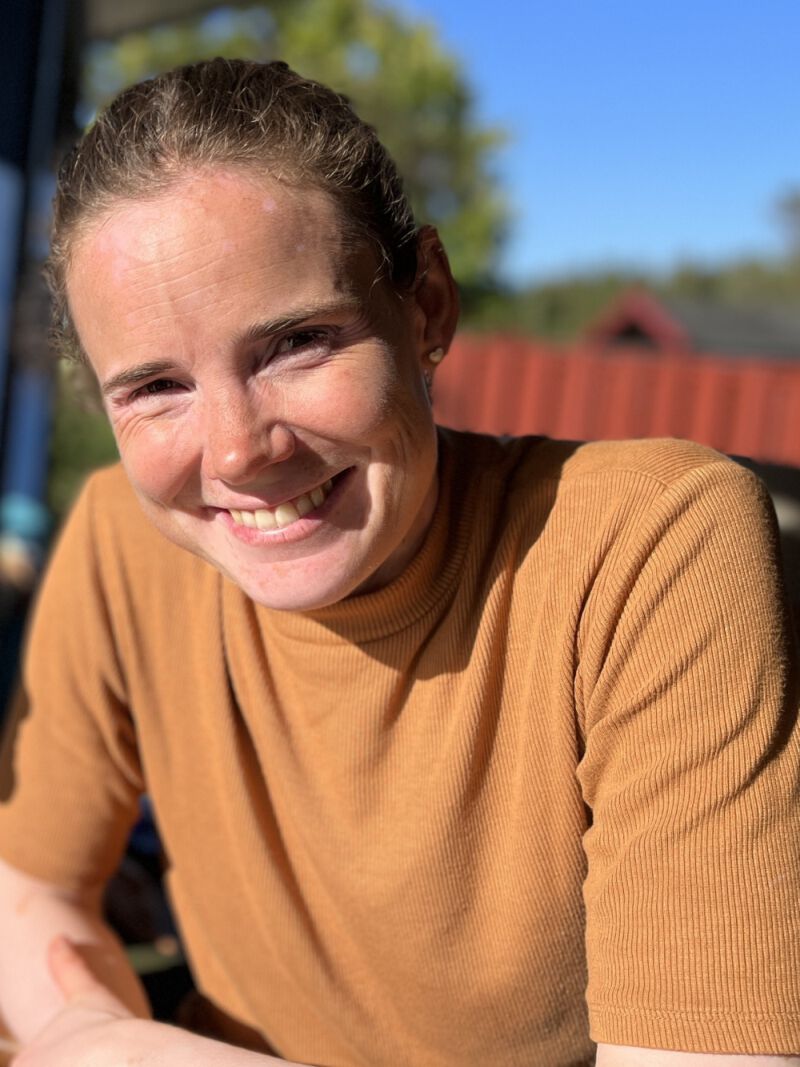
Pressefoto: Marit Stokke Bauck, portrett; 800px. Foto: Privat
Annet bildemateriale: Figur med beskrivelse og kreditering som spesifisert i artikkelen over, størrelse 1300px.