Nettsider med emneord «Remote sensing»
Our next LATICE seminar will be about Bayesian inverse modeling and data assimilation for the terrestrial cryosphere with presentations from Brian Groenke and Marco Mazzolini on November 29th, 2023 at 14:00.

En stor internasjonal studie - Global Land Ice Measurements from Space (GLIMS) viser at jordens isbreer med noen få unntak minker i størrelse. Forskerne bak studien har benyttet satelittbilder for å studere isbreene over de siste tiårene. Den omfattende studien er nå publisert i boken; Global Land Ice Measurements from Space.

A large international study - Global Land Ice Measurements from Space (GLIMS) shows that Earth’s glaciers are shrinking with only a few exceptions. The scientists behind the study have applied satellite images to study the glaciers over the recent decades. The comprehensive report is now published as a book and an e-book.
► Measuring a changing Earth
To better monitor and understand Earth system processes and their impacts on human and natural systems, remote sensing and the analysis of geographical information play an increasingly important role in today's world. Remote sensing and geoinformatics are influential and versatile technologies for many fields and applications in society. We develop methods and applications of remote sensing and geomatics at the interface between natural sciences, technology, informatics, and society-relevant applications.

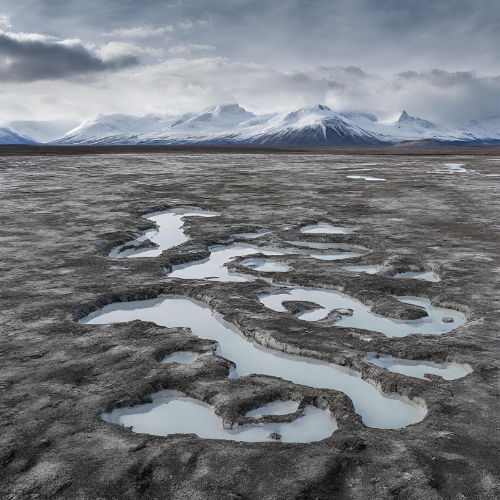
Permafrost is found in about a quarter of the land area in the northern hemisphere. Unlike snow and ice cannot permafrost be "observed" with remote sensing techniques. However satellites collect data regarding permafrost from sensors in field, and permafrost can be modelled numerically using above-ground data sets of temperature and snow depth. We aim in SatPerm to see if such data sets can be used for modelling of permafrost.
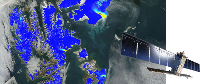
The European satellites Sentinel-1 A and B have been in operation since 2014 and 2016, respectively. The radar onboard them allows the detection of avalanche debris.
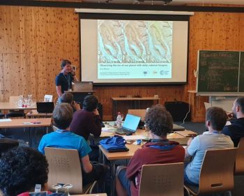
This summer Bas Altena gave a keynote talk during the Innsbruck Summer School of Alpine Research 2019, Austria, on how to use the small CubeSat satellites to observe glaciers and processes on Earth.
Signal processing, image analysis, and machine learning for applications in medical imaging, sonar, seismics, and remote sensing.


.jpg?alt=listing)