Nettsider med emneord «Remote sensing»



Our next LATICE seminar will be about Bayesian inverse modeling and data assimilation for the terrestrial cryosphere with presentations from Brian Groenke and Marco Mazzolini on November 29th, 2023 at 14:00.



.jpg?alt=listing)
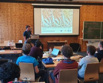
This summer Bas Altena gave a keynote talk during the Innsbruck Summer School of Alpine Research 2019, Austria, on how to use the small CubeSat satellites to observe glaciers and processes on Earth.
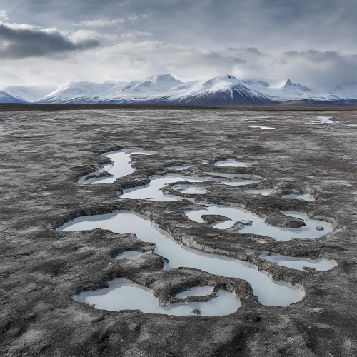
Permafrost is found in about a quarter of the land area in the northern hemisphere. Unlike snow and ice cannot permafrost be "observed" with remote sensing techniques. However satellites collect data regarding permafrost from sensors in field, and permafrost can be modelled numerically using above-ground data sets of temperature and snow depth. We aim in SatPerm to see if such data sets can be used for modelling of permafrost.